NDPC STAFF EQUIPPED WITH KNOWLEDGE ON GEOSPATIAL TECHNOLOGIES & AI FOR SMARTER PLANNING
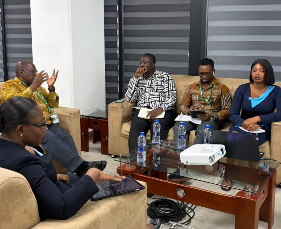
The National Development Planning Commission (NDPC) on Thursday, 22nd January 2026, held a technical capacity building session for staff to explore the potential of geospatial technologies and artificial intelligence (AI) in enhancing development planning outcomes and decision making.
In his remarks, the Chairman of NDPC, Dr Nii Moi Thompson, emphasised the need for the Commission to not only generate sound analysis but also ensure that its work is visible and impactful, noting that, while staff had demonstrated innovative approaches to data gathering and analysis, the real challenge lies in translating these efforts into clear and accessible outputs that influence national policy.
Dr Thompson further stressed that NDPC’s mandate requires both structural transformation and effective communication. He observed that despite producing major constitutional outputs and frameworks, the Commission often operates in the background, leaving its achievements largely unnoticed.
He, therefore, urged staff to adopt more visual and engaging communication methods such as infographics, audiovisual materials, and simplified policy briefs to better reach the public and policymakers.
He also highlighted the importance of foundational capabilities including literacy, ICT, and financial education, encouraging staff to revisit these areas as part of long-term planning efforts.
The session was led by Mr Luke A. Atazona, a development economist and data scientist, who introduced participants to the fundamentals of Geographic Information Systems (GIS), spatial data typologies, and their strategic applications in policy formulation, resource allocation, and service delivery. Key datasets, including administrative, demographic, infrastructure, and remote sensing data, were explored through practical examples such as poverty mapping, environmental planning, and economic activity estimation.
The session further highlighted the growing role of AI in automating data analysis, improving predictive modelling, and enhancing spatial decision making.
The session also emphasised the importance of leveraging spatial data and analytics for national development planning, highlighting Ghana’s existing spatial planning framework, including the National Spatial Development Framework and the Land Use and Spatial Planning Act.
Participants demonstrated how AI complements GIS in areas such as urban planning, disaster response, and the monitoring of development indicators.
Key recommendations from the session included the designation of a geospatial focal point, the conduct of a spatial data audit, and the launch of pilot projects to demonstrate value.
The session concluded with a call for political commitment, sustained investment, and strong institutional coordination, positioning geospatial technology and AI as twin pillars for smarter planning and national development.
 Young Ghanaian Tech Innovator Pitches AI-Powered Citizen Engagement Solutions to NDPC
 NDPC Director-General Calls for Child-Centred Investments as New SitAn Report Highlights Development Gaps
 Strong Institutions and Long-Term Planning will Deliver Development for Ghana – NDPC Chairman